
Renaissance World Atlases
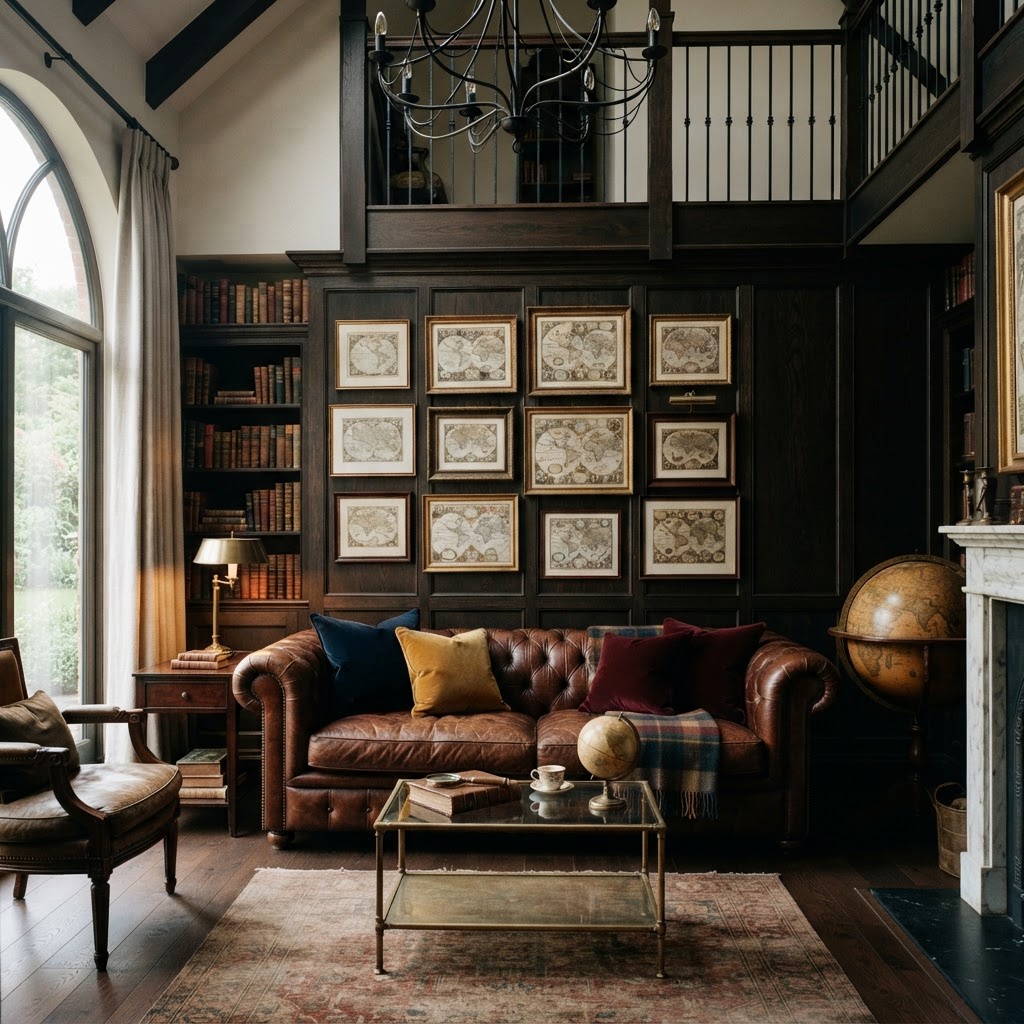
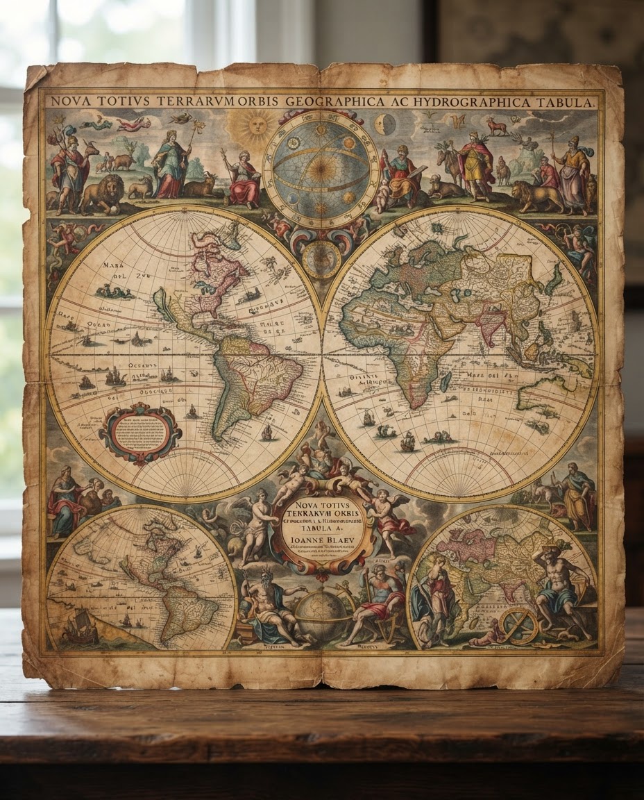
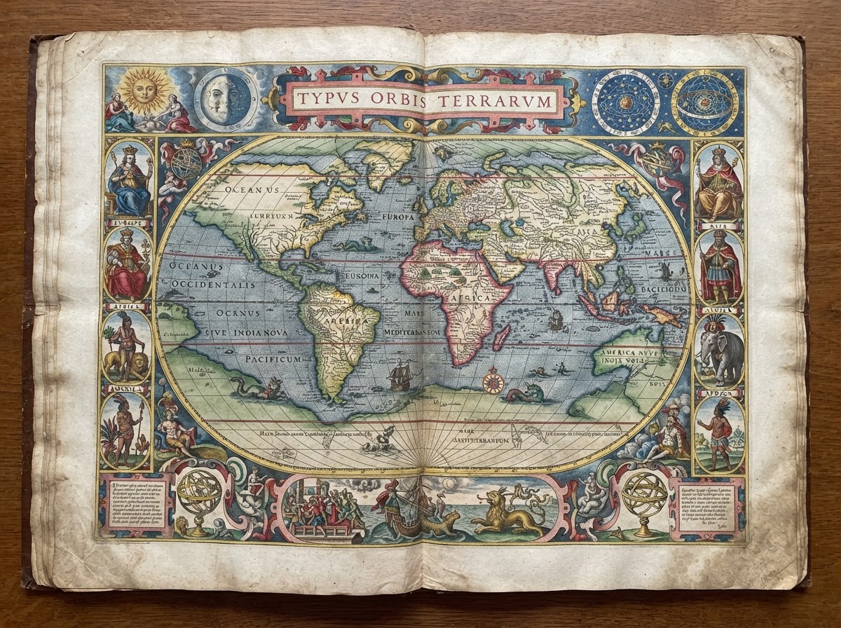
Monumental folios by Ortelius, Mercator, and Blaeu celebrating the Age of Discovery with double-hemisphere projections and mythic sea allegories.
Discover MapSeeker’s rare archive of high-resolution maritime charts, celestial projections, and hand-colored topographical surveys. Preserved with museum precision, available as museum-grade fine art editions.
Direct worldwide shipping on 100% cotton rag giclée reproductions.
Filter over 2.4 million cataloged folios, surveys, and celestial chartings from verified institutional and private collections.
From the cosmic pageantry of Renaissance world folios to the meticulous cadastral lines of Victorian municipal planning, explore our most coveted thematic archives.
Monumental folios by Ortelius, Mercator, and Blaeu celebrating the Age of Discovery with double-hemisphere projections and mythic sea allegories.
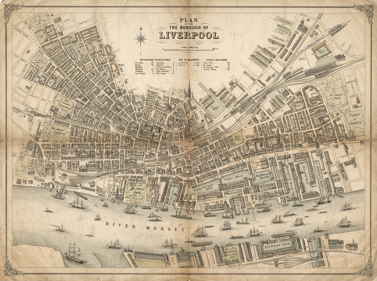
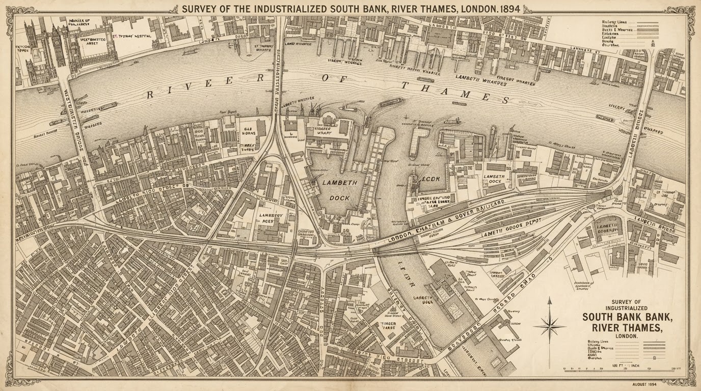
Hyper-detailed industrial-era surveys, sanitation maps, and parcel layouts of expanding metropolises including London, Paris, Boston, and Bombay.
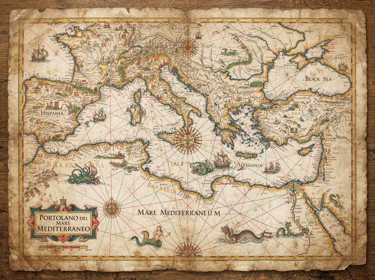
Portolan rutters, magnetic compass declination sheets, and VOC trading sea lines etched with radiating rhumb lines and perilous shallow reef warnings.
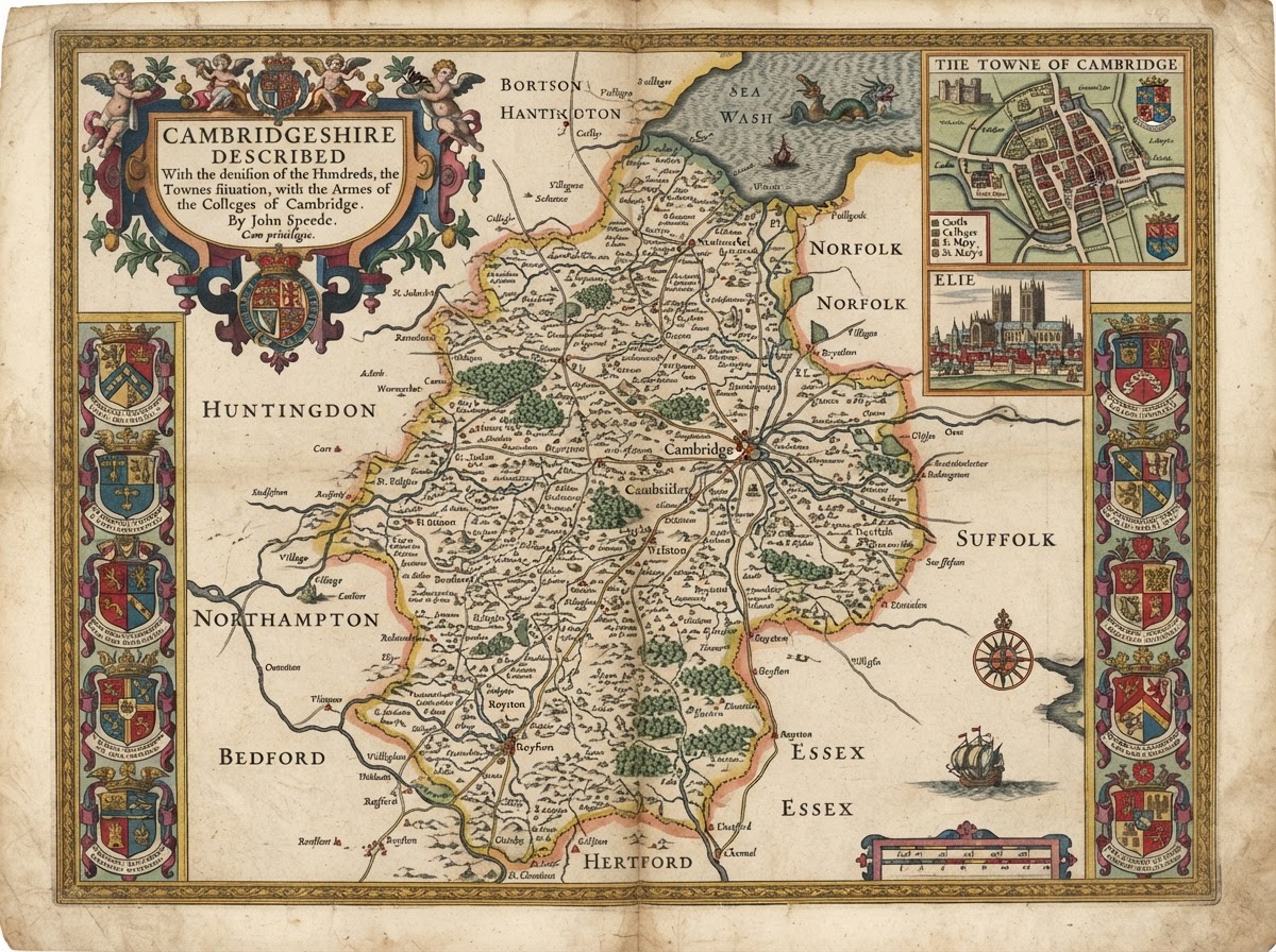
Noble shires, ancient parish hundred lines, and heraldic border cartography depicting manorial estates, wooded chases, and archaic place names.
Trace the living topography of the globe. Overlay primary cartographic records across centuries to witness lost wetlands, shifting marine shoals, and imperial urban sprawl.
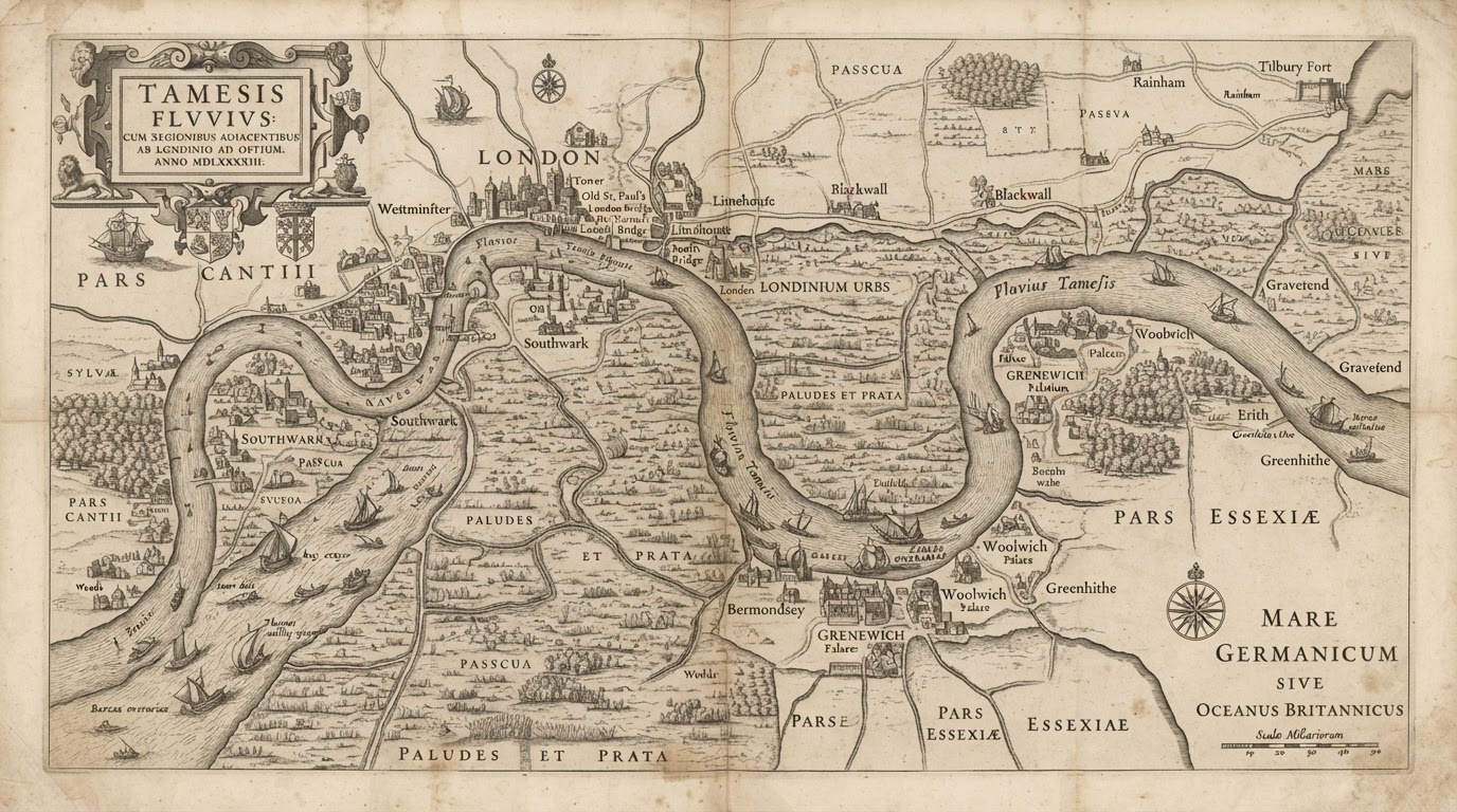
Over 2.8 miles of tidal mud flats confined into stone-walled quays, raising high-water velocity by 22%.
Pastoral grazing commons depicted in Norden's 1593 surveys completely supplanted by warehousing districts.
Historical coordinates geometrically aligned to modern spatial datum using 48 tie-point ground controls.
Engineered specifically for genealogists identifying family lands and educators building interactive, primary-source historical curriculums.
Pinpoint family origins beyond mere parish names. Correlate census rolls and baptismal ledgers directly with parcel-level cadastre maps, tithe awards, and land patent grants.
Cross-reference tenant surname registers with 19th-century parish field boundaries, identifying exact cottage and arable acreage footprints.
Resolve obsolete, anglicized, or dialect spelling of villages across Eastern Europe, Scandinavia, and the British Isles with phonetic gazetteers.
Direct georeferenced township-and-range public land surveys (PLSS) across North America matching 160-acre pioneer homestead claims.
"Located the 1841 O'Flaherty homestead in County Galway using Griffith's Valuation maps combined with Ordnance Survey 6-inch First Edition sheets."
Empower university seminars and secondary classrooms with ready-to-teach cartographic source sets, chronological slide decks, and royalty-free educational projections.
Curated thematic packages spanning the Transatlantic Trade Triangles, the Silk Road, and the Partition of Africa complete with question prompts and rubrics.
Project high-density gigapixel scans on classroom screens. Allow students to annotate marginalia, sea monster iconography, and geopolitical borders in real-time.
Frictionless Creative Commons academic fair-use licensing for faculty syllabi, student dissertations, digital monographs, and virtual exhibitions.
Adopted by history, geography, and anthropology faculties across 140+ colleges and museum outreach programs worldwide.
Are you a local historical society, municipal library, or genealogical guild? Request bulk research access passes.
Master cartographic editions printed with pigment inks on heavy 310gsm German etching cotton rag. Individually framed in solid hardwood moulding with UV-filtering preservation acrylic.
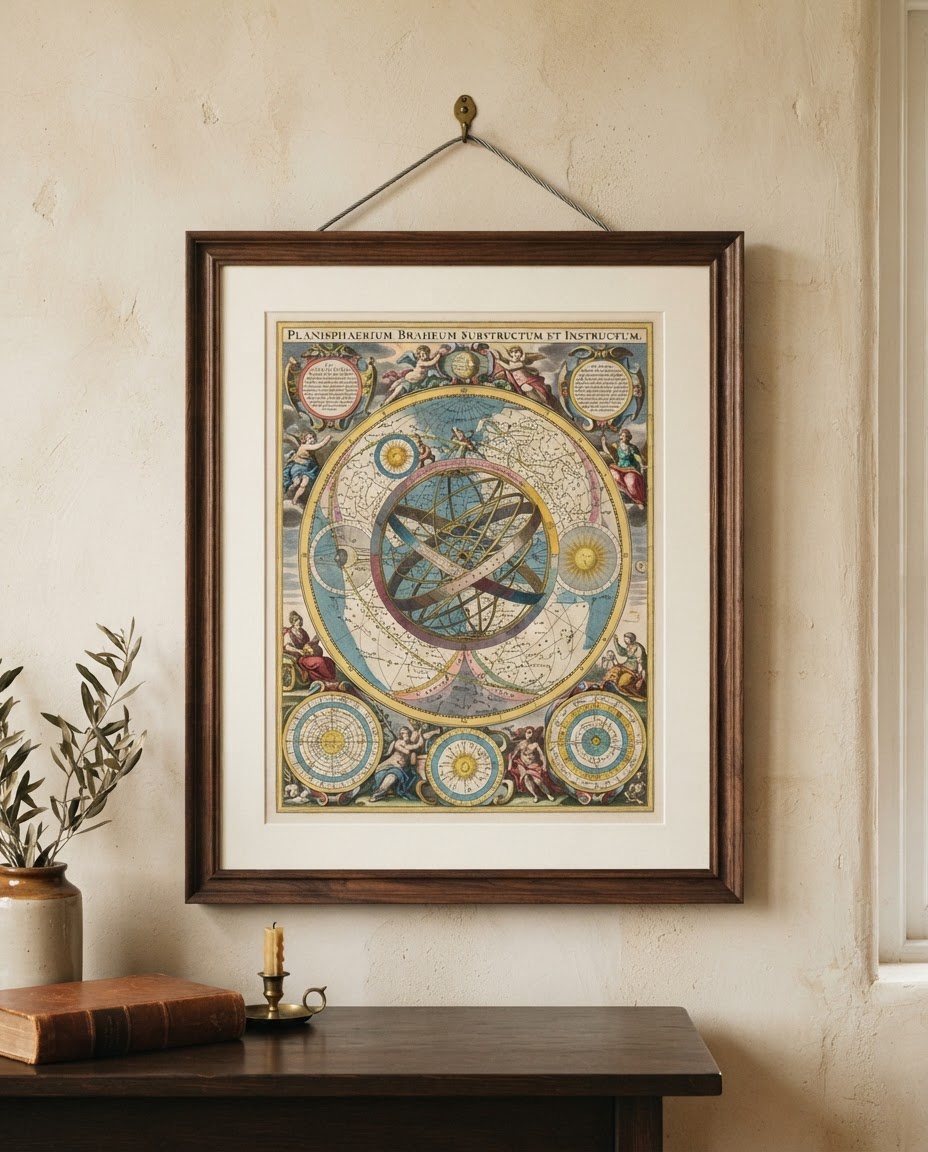
Full celestial planisphere capturing the Copernican universe, hand-embellished gilded stars, and cherub astrological border work.
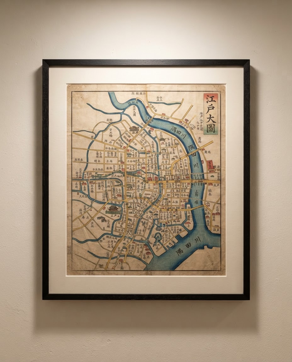
Rare woodblock polychrome town plan identifying daimyo clan residences, castle moats, and traditional temple grounds in intricate calligraphy.
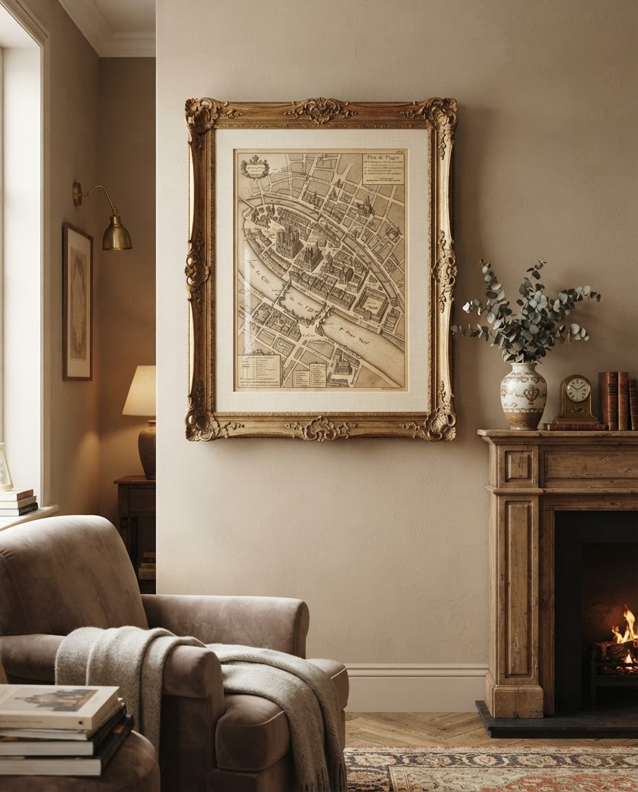
Isometric perspective engraving of 18th-century Paris showing Notre Dame, royal palaces, private townhouses, and river barges down to individual windows.
Every reproduction is treated as a permanent fine art object. We never use optical brighteners or synthetic papers that yellow or fade over decades.
Available in Solid Walnut, Bog Oak, Bleached Ash, and Antiqued Burnished Gold Leaf.
Museum-grade TruVue anti-reflective glazing that prevents light degradation and glare.
Hahnemühle 310gsm archival cotton substrate with hand-deckled feathered edge options.
Every print features our blind-embossed workshop seal and archival inventory catalog number.
Our bespoke interior cartography consultants assemble coordinated regional suites and custom oversized installations.
Our preservation laboratory combines optical metrology with non-destructive spectral imaging, ensuring every cartographic relic is preserved digitally and physically for centuries to come.
Utilizing German Cruse synchronous contactless planetary scanners with synchronized cold-LED illumination, avoiding any heat buildup or UV stress on delicate 400-year-old paper substrates.
Each scan undergoes rigorous X-Rite ColorChecker profiling under D50 daylight standards. Pigments like malachite, lapis lazuli, and cinnabar are digitized to within ΔE < 1.5 color variance.
We print solely on acid-free, calcium-carbonate-buffered cotton rag substrates devoid of chemical optical brighteners (OBAs), guaranteed to resist yellowing or degradation for in excess of 200 years.
Every cartographic artifact is physically evaluated by antique map specialists. Watermarks, plate impressions, paper chain-lines, and atlas stitchings are documented in our permanent registrar.
Traditional camera sensors create chromatic aberrations and spherical distortion at outer map borders. MapSeeker uses synchronous scan lines that maintain an exact perpendicular focal plane across large-format maps measuring up to 60 × 90 inches.
Adhering directly to the Federal Agencies Digital Guidelines Initiative highest standard for cultural heritage institutions.
Read White Paper on Scanning Protocol →From Ivy League lecture halls to private drawing rooms, discover how MapSeeker's archival precision and pigment fidelity serve discerning collectors worldwide.
"The optical resolution on the 16th-century Ortelius hemisphere reproduction is simply unmatched. Even the Latin marginalia inscriptions under 5x magnification remain razor sharp. It has become an indispensable primary source teaching tool in our early modern history seminars."
"I spent three years searching for an ambiguous ancestral parish boundary in Lancashire. MapSeeker’s georeferenced 1845 Tithe Survey allowed me to pinpoint the exact 4-acre holding of my client's great-great-grandfather. The custom framed print brought tears to their eyes."
"The physical presence of the Hahnemühle cotton rag paper combined with the solid walnut moulding is sensational. We commissioned an oversized 6-foot multi-panel set of the 1739 Plan de Turgot for a Mayfair private residence; the tonal balance and museum glass are true luxury tier."
"Most commercial prints suffer from harsh over-sharpening or blown-out sepia tones. MapSeeker respects the genuine patina of aged vellum and historical copperplate crosshatching. Their provenance documentation is library grade."